Finding and Selecing Data with SQL Queries
Use the -sql flag to find and subset data by specific fields, attributes, or geometry
Querying Data
Querying data with ogrinfo
Q: How many bus stops are contained in this file (bus_stops_wgs84.shp)
$ ogrinfo bus_stops_wgs84.shp -sql "SELECT COUNT(*) FROM bus_stops_wgs84"
Layer name: bus_stops_wgs84
Geometry: None
Feature Count: 1
Layer SRS WKT:
(unknown)
COUNT_*: Integer (0.0)
OGRFeature(bus_stops_wgs84):0
  COUNT_* (Integer) = 79810
A: 79810
Q: How many unique stops are contained in this layer?
$ ogrinfo bus_stops_wgs84.shp -sql "SELECT COUNT(DISTINCT STOPID) FROM bus_stops_wgs84"
Layer name: bus_stops_wgs84
Geometry: None
Feature Count: 1
Layer SRS WKT:
(unknown)
COUNT_STOPID: Integer (0.0)
OGRFeature(bus_stops_wgs84):0
  COUNT_STOPID (Integer) = 23954
A: 23954
Q: How many stops are serviced by San Francisco MUNI?
$ ogrinfo bus_stops_wgs84.shp -sql "SELECT COUNT(*) FROM bus_stops_wgs84 WHERE AGENCY = 'San Francisco MUNI'"
Layer name: bus_stops_wgs84
...
OGRFeature(bus_stops_wgs84):0
  COUNT_* (Integer) = 13880
A: 13880
Saving Query Results
Creating data from query results with ogr2ogr
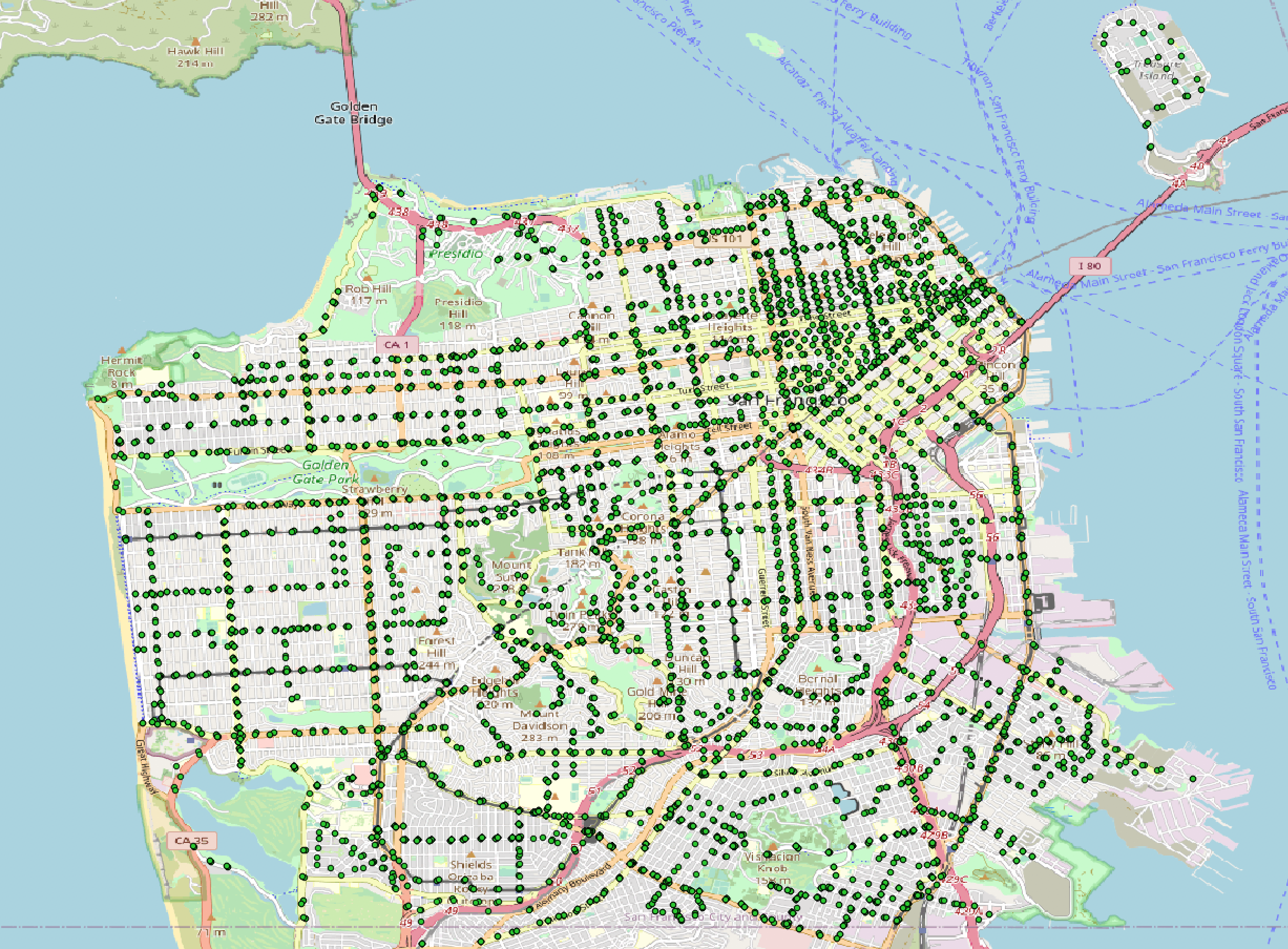
Find all the SF MUNI stops and save it to a shapefile
$ ogr2ogr sf_muni_stops.shp bus_stops_wgs84.shp -sql "SELECT * FROM bus_stops_wgs84 WHERE AGENCY = 'San Francisco MUNI'"

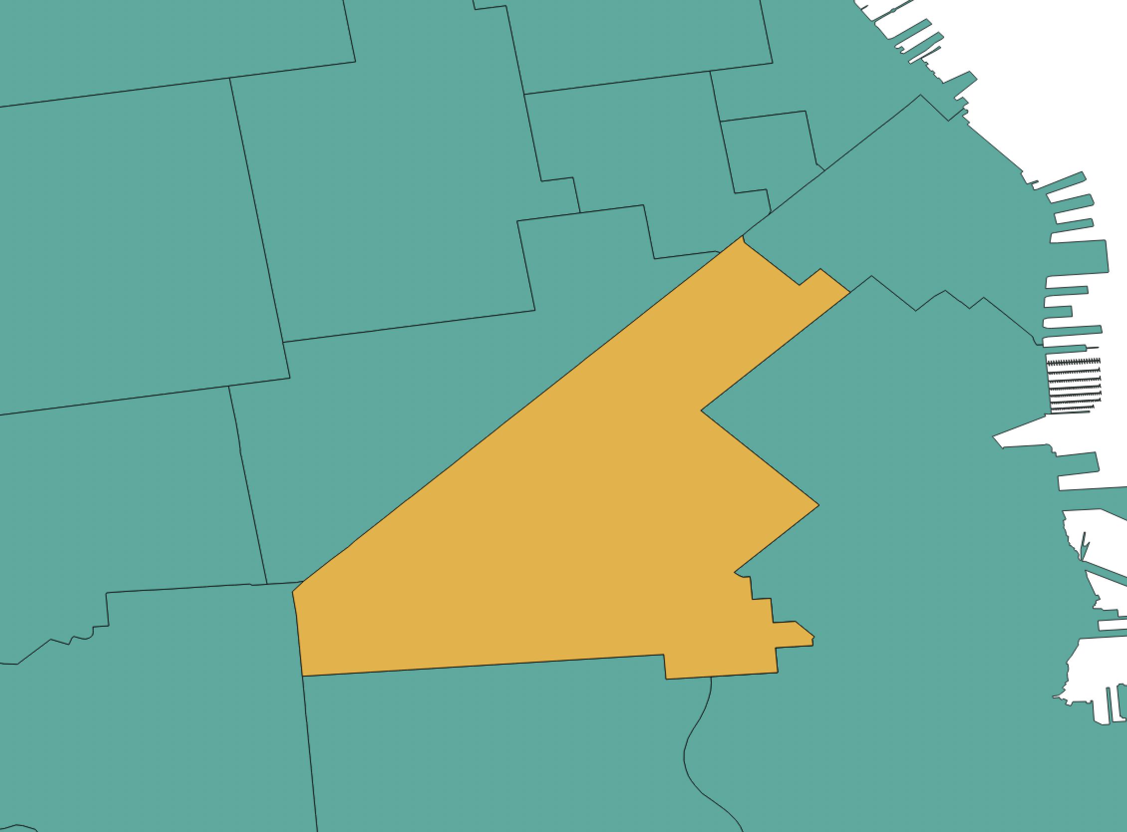
Find the 94103 zipcode boundary and save it to a shapefile
$ ogr2ogr sf_94103.shp sfzipcodes.shp -t_srs EPSG:4326 -sql "SELECT * FROM sfzipcodes WHERE ZIP_CODE ='94103'"

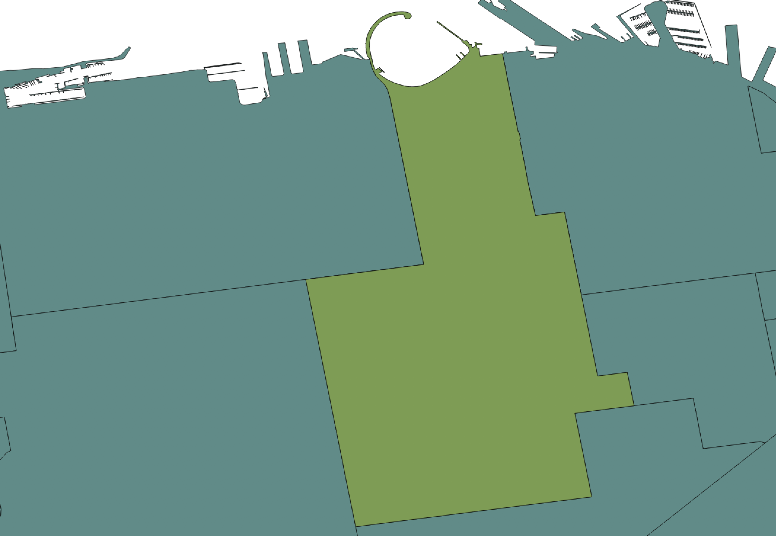
Find the 94109 zipcode boundary and save it to GeoJSON
$ ogr2ogr sf_94109.geojson -t_srs EPSG:4326 sfzipcodes.shp -sql "SELECT * FROM sfzipcodes WHERE ZIP_CODE ='94109'"
