Indexing and Mosaicing
Indexing Raster Tiles
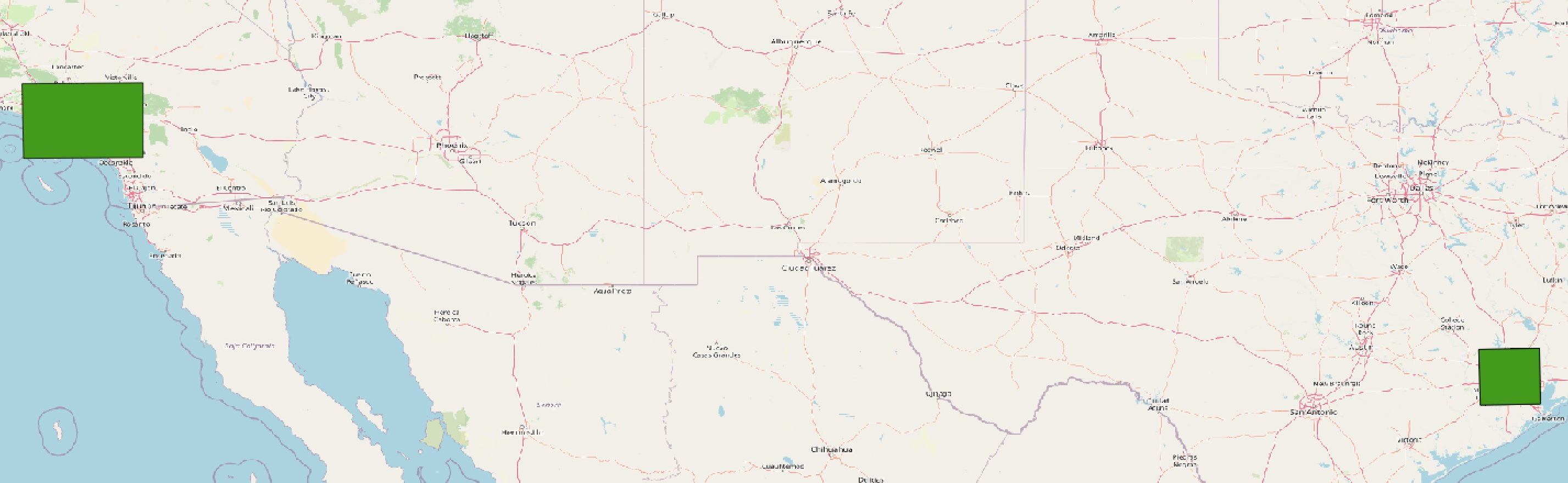
The gdaltindex utility creates a polygon boundary containing features for each input file and a polygon geometry outlining the extent.
Creating an index from one raster file
$ gdaltindex SF1938_index.geojson SF1938.tif
From two files
$ gdaltindex -t_srs EPSG:4326 maps_index.shp houston.tif los_angeles.tif
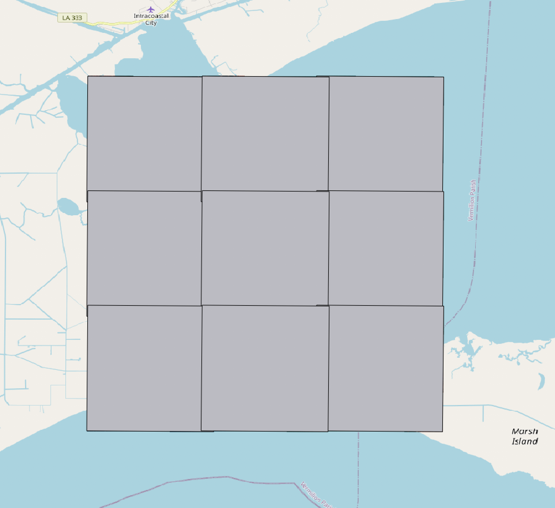
From all rasters in a directory
$ gdaltindex doqq/doqq_index.shp doqq/*.tif
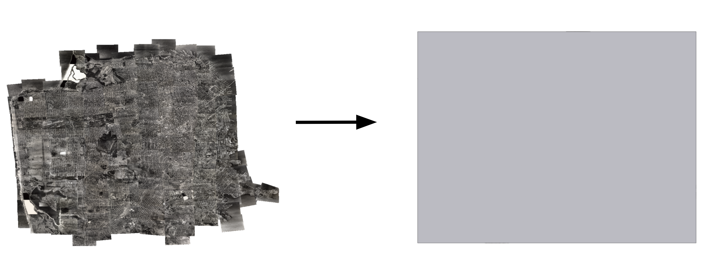
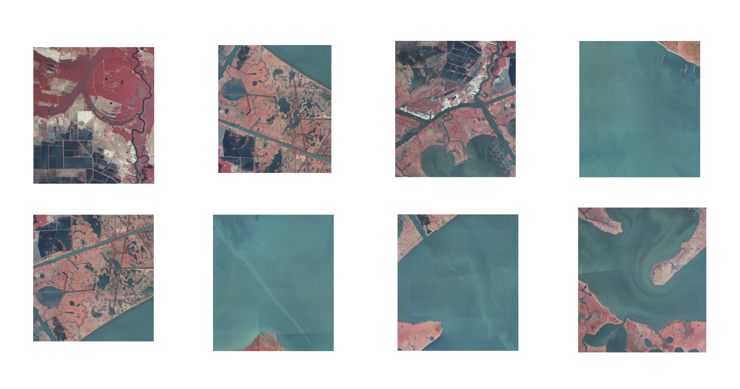
Creating a Mosaic
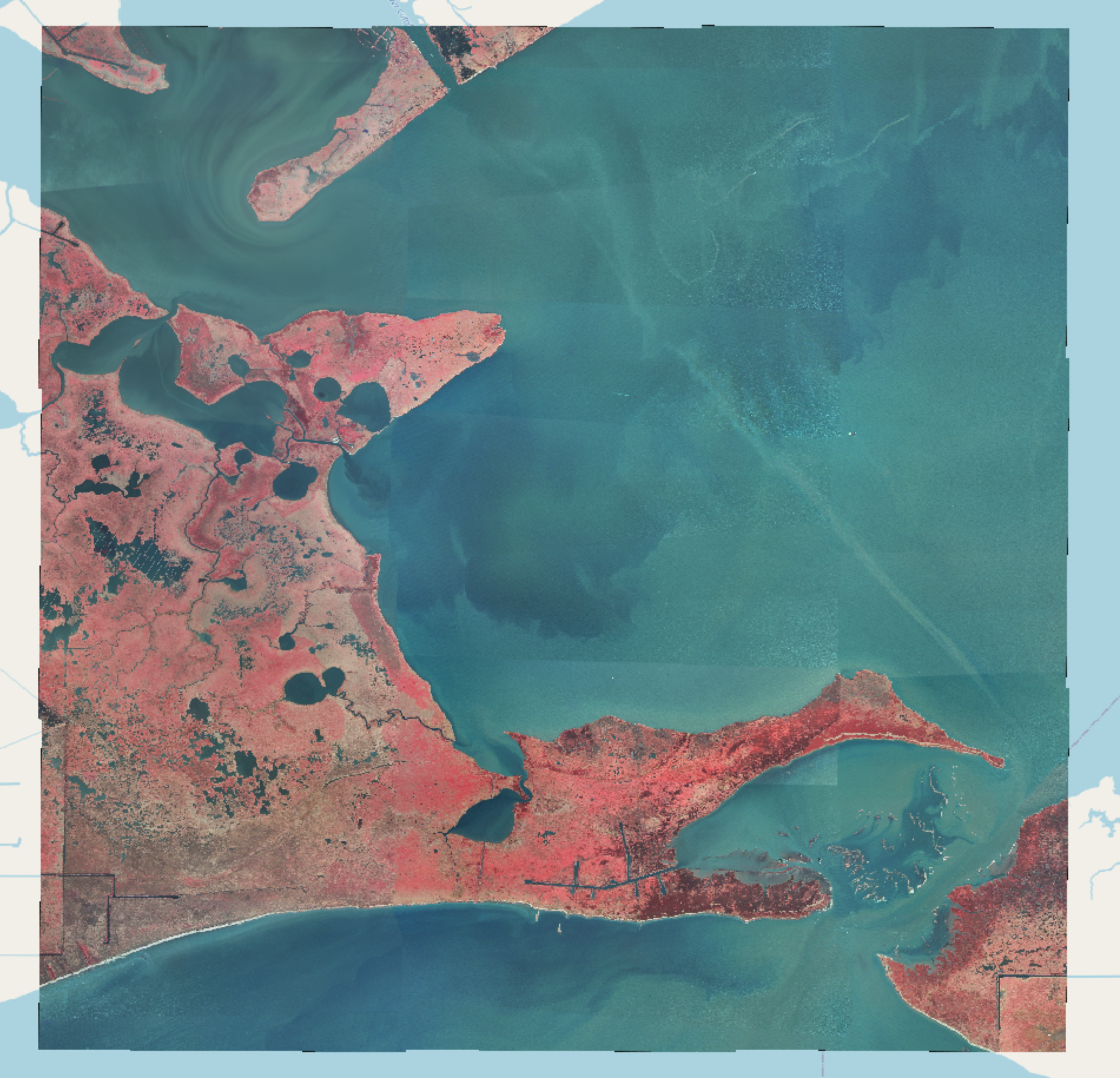
Mosaicing raster tiles (DOQQs) and creating an overview image using a VRT (Virtual Dataset) file. VRTs are XML documents containing properties such as pixel dimensions and geometries which allow you to merge (mosaic) several raster files without processing overhead
Create an input list of files from the doqq directory
$ for file in doqq/*.tif*; do echo "$file" >> doqq/doqq.txt; done
Use the gdalbuildvrt utility with -input_file_list
$ gdalbuildvrt -input_file_list doqq/doqq.txt doqq/doqq_merged.vrt
Use gdalwarp to reproject to WGS84, set a nodata value, apply JPEG compression, tiling, and YCBCR photometric and output a GeoTIFF
$ gdalwarp -t_srs EPSG:4326 -dstnodata 0 -co COMPRESS=JPEG -co TILED=YES -co PHOTOMETRIC=YCBCR -of gtiff doqq/doqq_merged.vrt doqq/doqq_merged.tif
Overwriting files
Run the command above again. You will get an error message saying that the file already exists. Use the -overwrite flag to overwrite the existing file
$ gdalwarp -t_srs EPSG:4326 -dstnodata 0 -co COMPRESS=JPEG -co TILED=YES -co PHOTOMETRIC=YCBCR -of gtiff -overwrite doqq/doqq_merged.vrt doqq/doqq_merged.tif